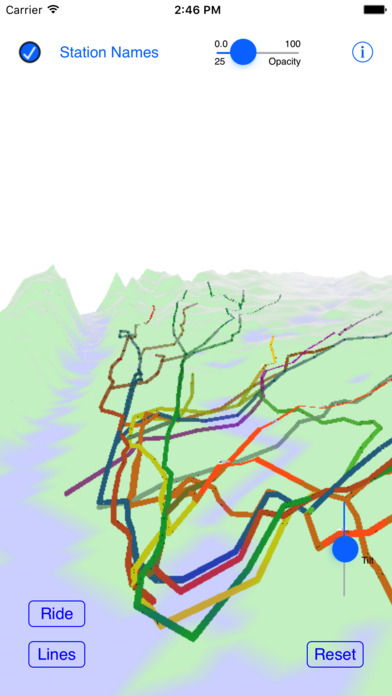

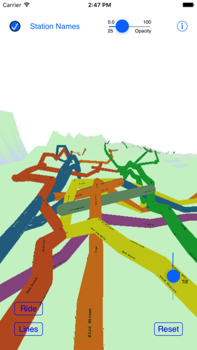

This is a 3D map of the New York City Subway system, using actual ground elevations, track depths and station locations.
The map can be manipulated by standard iOS gestures to zoom, pan, rotate and tilt the map.
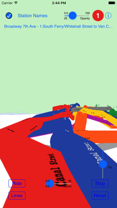
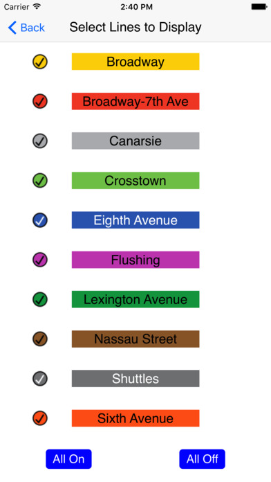
You can take a simulated ride on any of the systems lines, or choose a start and end station and ride on a calculated route between the two stations.